
Friday, July 23, 2010
Thursday, July 8, 2010
Analysis

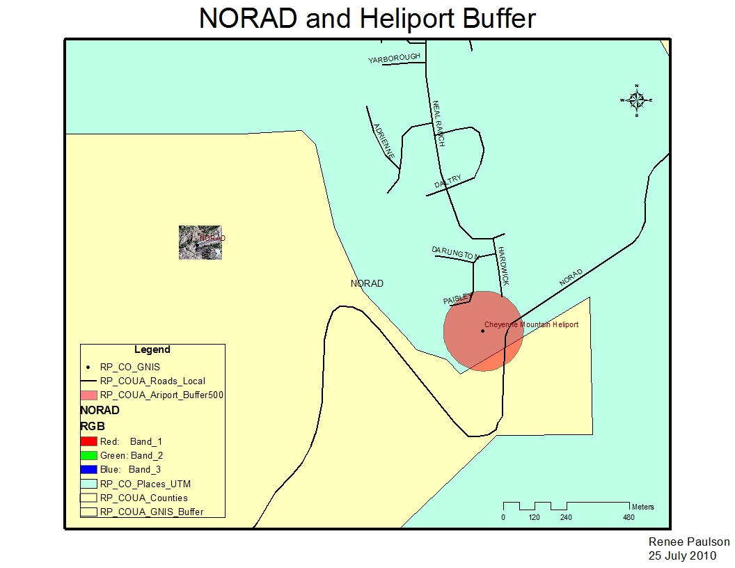
Really no major problems this week. The one thing I could not get to work was the swipe tool. I followed all the steps, but it didn't appear to be functioning.
I did learn the Buffering Multiple Ring tool could have helped me out last week. From the posts I think I now know what an mdb vs gdb, still not quite sure on that one.
Also learned why certain files cannot be saved; if not proper type it can't be saved to certain places.


Tuesday, June 22, 2010


Tuesday, June 15, 2010


Wednesday, June 9, 2010
Oil Spill part I
Ummmm I cant seem to upload my kmz file here. I sent to the dropbox so I hope that works, I got an email saying I put something in the dropbox though.
Many problems this week. Started off putting things in the wrong projection, didn't know not to just do that to begin with. I learned what 'dissolve' meant, hopefully I can remember how to do it. Still have no idea what a kml or kmz file it, but I think I turned my in to the dropbox properly.
Many problems this week. Started off putting things in the wrong projection, didn't know not to just do that to begin with. I learned what 'dissolve' meant, hopefully I can remember how to do it. Still have no idea what a kml or kmz file it, but I think I turned my in to the dropbox properly.
Tuesday, June 1, 2010
Deliv. #4 and 5
Cannot get the system to work. I have been trying for seriously 4 hours and I either get "Not Responding" or the system freezes then crashes on me. I'm hoping things are working in the next 20 mins (I need to go to bed because I have an 830am class in the morn) or I pray I have enough time (I get out of class at noon) and the system works tomorrow. I started working on #4 a few days ago and I can only get the data frame prop and enviro and all the beginning stuff set. After I load counties then streets and then try to label major interstates and US Hwys thats when the system goes nuts.
SOOOOOOO, if things go well and I am able to complete 4 and 5, this is my post for it!
Humbug on GIS right now.
SOOOOOOO, if things go well and I am able to complete 4 and 5, this is my post for it!
Humbug on GIS right now.
Land-cover Affected by Flooding (Deliv. #2and 3, Week 3)

I had a major malfunction with this map. It was simple problem that I thought was a big problem. In the reclass step (ArcTools/Spatial Analysis/ Reclass/ Reclassify) I was entering everything correctly except how I was trying to save. I was just deleting the tail end of the file name and entering the new (reclandcover). I finally fixed the problem by clicking on the folder button at the end of the space and going through and placing the data where I wanted it that way and then typing in the new name. I have no idea why this small step fixed the issue, but this was one of the problems I had that took about 3 hours to fix. BUT I learned something so it wasn't a wasted 3 hours.
Coastal Counties in MS (Deliv. #1 Week 3)

This was the first deliverable map. I didn't find it very difficult once I got going. I did have a few issues when I was reviewing the metadata, like where some of the info was coming from (Time preriod). Instructions were rather easy to follow and very informative, before starting a new step it was explained what we were trying to accomplish. For me this is good because I get very confused if I don't know what or why I am doing it.
Tuesday, May 25, 2010


Monday, May 24, 2010

Wednesday, April 28, 2010
Final Project
My final project is all Power point. To view comments switch the view to notes page to view the slide with my comments.
http://students.uwf.edu/rnp3/GIS_Final_Project.pptx
http://students.uwf.edu/rnp3/GIS_Final_Project.pptx
Saturday, April 10, 2010
Managing Labels With Class

Very easy... IF the dang computer and ArcGIS would stop freaking freezing every 10 min.
Wednesday, March 31, 2010
Gulf County Porpoerty Owners

Struggled through this one, but not too bad. Added the seperate property owners a different way than instructed. I R clicked the layer and selected properties then went to symbology. I don't know if I was correct in doing this, but it gave me, visually, the same result.
Monday, March 15, 2010
Week 7...3 ESRI Maps


Having problems pulling the UWF map back up for some reason. The ESRI projects were simple and VERY informative... Now I need to figure out how to do all these cool new things will a real map/project.
Saturday, February 27, 2010
Week 6: UWF Campus

This week wasn't too bad. This map took me awhile because I played around with it a lot. If I was getting a high RMS I'd delete high values and pick new ones. The video was a big help and the directions this week were right on. No problems really with this lab! That's a first!
Week 5! Oops forgot legend/title/N arrow/etc.....

One problem though... When creating a legend because there were so many colors (elevation levels) for certain layers I tried to adjust them and then they just became black on the map. If you look at the map I previously turned in without a legend, there is a difference between elevations, but I couldn't figure out how to get my map and legend in sync with one another.
Friday, February 26, 2010

Wednesday, February 3, 2010
Haiti

So I decided to take an approach that I am a little familiar with. My husband is an Oceanographer Officer stationed out at Stennis Space Center near Gulfport MS. He was going to be sent to Haiti, but got held back because he is in the middle of training. His roomate Larry was sent. They are both part of the naval survey team. They have multiple purposes. They are often sent out to do research on all aspects of a body of water (temp, depth, salt/fresh, surveys sea floor, you name it). Quite often they are sent out before a SEAL team to do research on where the team will be landing, when the navy needs surveys done on a new or existing location, and in the case of Haiti, when a major disastor has occured and the port needs to be surveyed and verified safe or to decide what repairs are needed before ships can enter.
This made me think about how supplies get to the people that really need it, and that has been a major problem with the Haiti earthquake... Getting to the people.
So, following Ambers example, here are the layers I believe are important:
1) Type: Underwater elevation: Format: DEM Scale: raster Utility: Survey of bottom of ocean near vital ports, such as Port-au-Prince, for changes in features (gaps, cracks, rises) or debris that has fallen into the port.
2) Type: Land survey elev Format: DEM Scale: raster Utility: land survey preformed at and near ports for same reason as underwater elev. Decide if repairs are needed and if piers can support supply ships.
3) Type: Airport/field Format: shapefile Scale: vector, polygon Utility: Are the runways damaged or safe to land on
4) Type: Hwy from ports/airfields to affected locations Format: shapefile Scale: vector, line Utlilty: Which roads are damaged and in need of repair, what is the shortest route, are the detours around damaged roads
5) Type: local roads in affected areas Format: shapefile Scale: vector, line Utility: is it safe to drive in affected areas, where are the safest areas to distribute supplies.
6) Type: Storage/Shelter buildings Format: shapefile Scale: 1: 10,000, vector, polygon Utility: Are there safe, secure buildings where once supplies arrive they can be stored, are there any buildings for the homeless to sleep and be cared for if injured.
Attribute Table For Hwy from ports layer
Hwy_ID Hwy_Name Run_Direction Lanes Condition (this would be decided by the
001 Rue Hasco N->S 2 survey team. Conditions
002 Blvd La Saline N->S 2 would either be operational
003 Rt National #1 N->S 2 or non-op)
004 Rt de Delmas E->W 1
005 Rue St. Martin E->W 1
006 Rue Tiremasse E->W 1
007 Ave Haile Salassie N->S 1
008 Ave Mais Gate E->W 2
009 Ave Pan-Americaine N->S 2
010 Rt Freres 2
Tuesday, February 2, 2010

Week 3 Map 2

Got tripped up a few places with this one, like making sure my layers were in the proper order, but I'm able to figure most issues out on my own or with a little help from my classmates on the discussion boards.
Monday, February 1, 2010

Wednesday, January 27, 2010

Wednesday, January 20, 2010
Week 1
.jpg)
.jpg)
San Diego Map
Still getting used to this so I apologize if its not "pretty".
Things learned...
1) How to find my layers toolbar when it doesn't show up or just isn't there (thanks Brian and Tim).
2) In general how to do the basic and navigate through the first lesson.
The first lesson did me wonders. I was fearful of beginning my GIS assignment and I'm still a little unser about this blog thing, but I'm getting the swing of it.
Subscribe to:
Comments (Atom)